Planned on a map. Run on the water.
Missions start in the project's browser-based waypoint planner: waypoints are dropped onto a satellite image of St Katharine Docks and exported as a waypoints.json mission file that the shore station loads. The clip then cuts to D.R.E.A.M.S. on the dock water during testing, run on a safety tether with the handheld RC override on standby.
The full video walks through the project's three test subtasks, including the bench tests, the sensor pod, and the waypoint run at the docks.
Firmware co-developed by Kyle Tran and me. The repository and the planner are hosted on Kyle's accounts.
D.R.E.A.M.S. is a fully autonomous unmanned surface vehicle developed to collect environmental data in degraded aquatic ecosystems. The project was conceived, designed, fabricated, and water-tested within a single semester by Kyle Tran and me, its two co-founders, as a first-year engineering project at Northeastern University's London Scholar Program. The team has since grown to four: Nolan Ting and Caleb Kong, both mechanical engineering students, joined us in fall 2026 for V3.
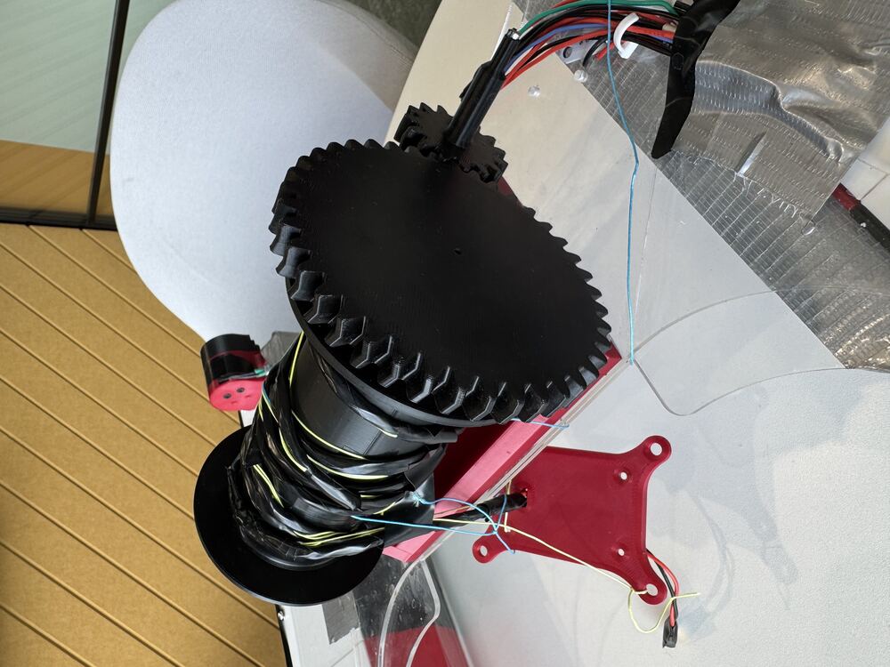
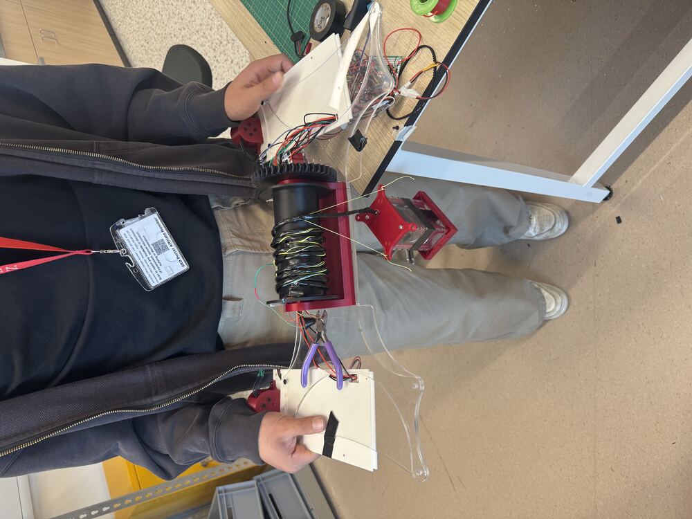
The vessel autonomously navigates to GPS waypoints, lowers a sensor pod on a winch, takes depth-profiled water readings every 1m as it descends, confirms bottom contact via a spring-loaded mechanical switch, samples, then raises the pod and moves to the next waypoint. All data is relayed to shore via radio and logged to CSV.
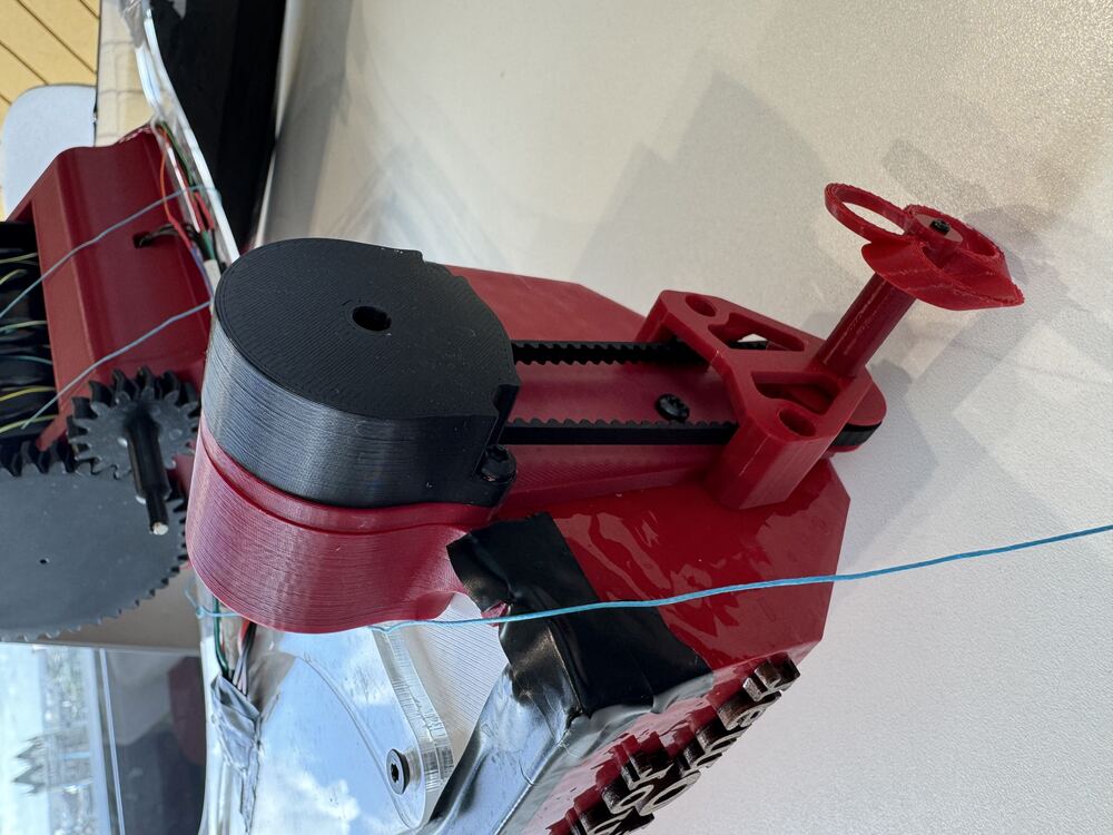
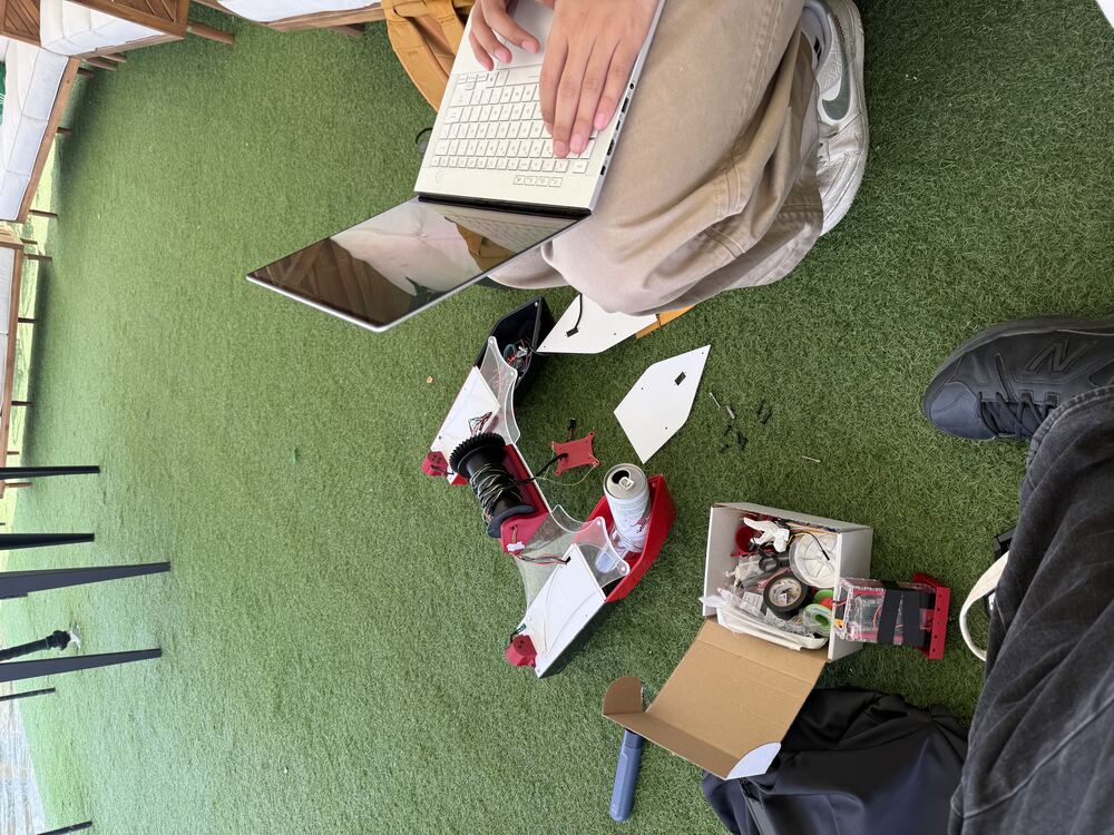
Every component — from the 3D-printed motor housings and structural reinforcement plates to the sensor pod enclosure and propulsion mounts — was designed in CAD and fabricated in-house using the program's makerspace. The entire system was built and tested within a £100 budget.
Systems & Engineering
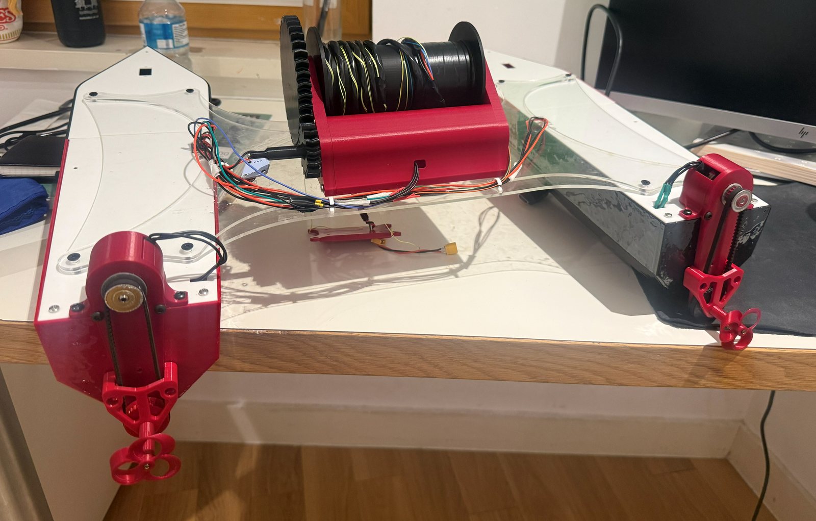
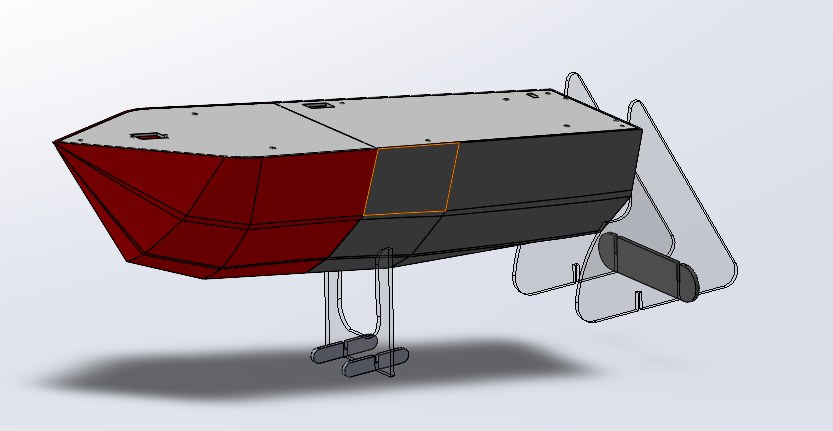
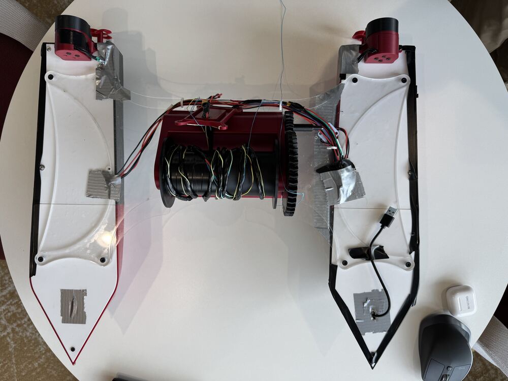
Catamaran twin-hull configuration selected for superior transverse stability and expanded sensor deck area — consistent with USV research literature. The bridge connecting the two hulls experienced structural flexing under load, resolved through custom-fabricated reinforcement plates designed and iterated in SolidWorks.
- Acrylic and 3D-printed structural members
- Custom motor housings for spray protection
- Hull panels painted and sealed for waterproofing
- Bilateral tolerances on 3D-printed parts for reliable fit
- Van Veen grab sediment sampler modeled in SolidWorks, delivered with a full engineering drawing package and BOM
Differential thrust via two independent brushless motors controlled via ESC PWM — one per hull — enabling steering without a rudder. A waterjet system was initially attempted but abandoned after encoder failure and budget constraints. Full root-cause analysis was performed before pivoting. Power comes from a 4S LiPo (upgraded from 3S) with a voltage divider battery monitoring circuit.
- Dual brushless motors via ESC PWM, proportional differential thrust
- 4S LiPo with 100kΩ/15kΩ voltage divider on GP26
- Winch: time-based depth estimation with variable spool diameter compensation
- FlySky FS-i6 RC override via PWM pin release
Three Raspberry Pi Picos running MicroPython with uasyncio manage the full system — the Boat Pico handles propulsion, GPS waypoint navigation (NEO-6M, haversine), compass (QMC5883P), winch control, and RC override. The Pod Pico runs the underwater sensor suite. The Shore Pico serves as the operator station, logging three CSVs and issuing commands. All communicate via HC-12 433MHz radio verified at 1,000 meters. Kyle and I wrote the firmware together (source on GitHub ↗).
- 3× Raspberry Pi Pico MCUs (boat, sensor pod, shore)
- HC-12 433MHz bidirectional radio, 1km verified range
- XOR-checksummed framed radio protocol
- 3 structured CSV logs: survey, depth profiles, errors
- Autonomous waypoint navigation via haversine formula
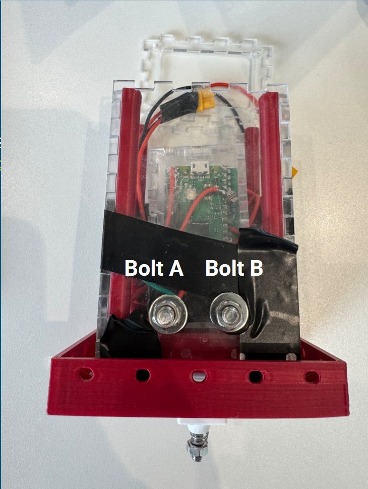
A custom waterproof sensor pod was designed and fabricated to deploy instruments at variable depths. The pod communicates via UART with a diode-OR multiplexed line shared with the GPS, using message prefixes to differentiate data streams. An onboard DHT11 captures atmospheric conditions on deck.
- Water temp (NTC thermistor, Steinhart-Hart equation)
- Salinity via DIY EC probe — AC-driven graphite/stainless electrodes to prevent electrolysis
- Light level (LDR) and bottom contact (spring-loaded mechanical switch)
- DHT11 on deck: air temperature and humidity
- Depth profiling every 1m on descent, 3-confirmation bottom contact logic
Fault-Tolerant Systems
The safety architecture implements per-sensor watchdog monitoring with quality flags on every telemetry frame, fault thresholds with safe-stop on critical failures, and SAFETY_OFF overrides requiring explicit confirmation for battery and hull sensors — modeled on the fail-safe patterns used on professional maritime platforms.
Additionally: manual override via handheld controller and physical safety tether were used during all water testing.
From Makerspace to Water
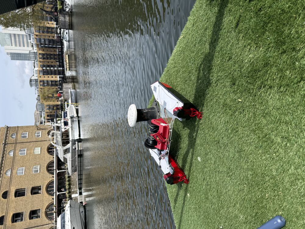
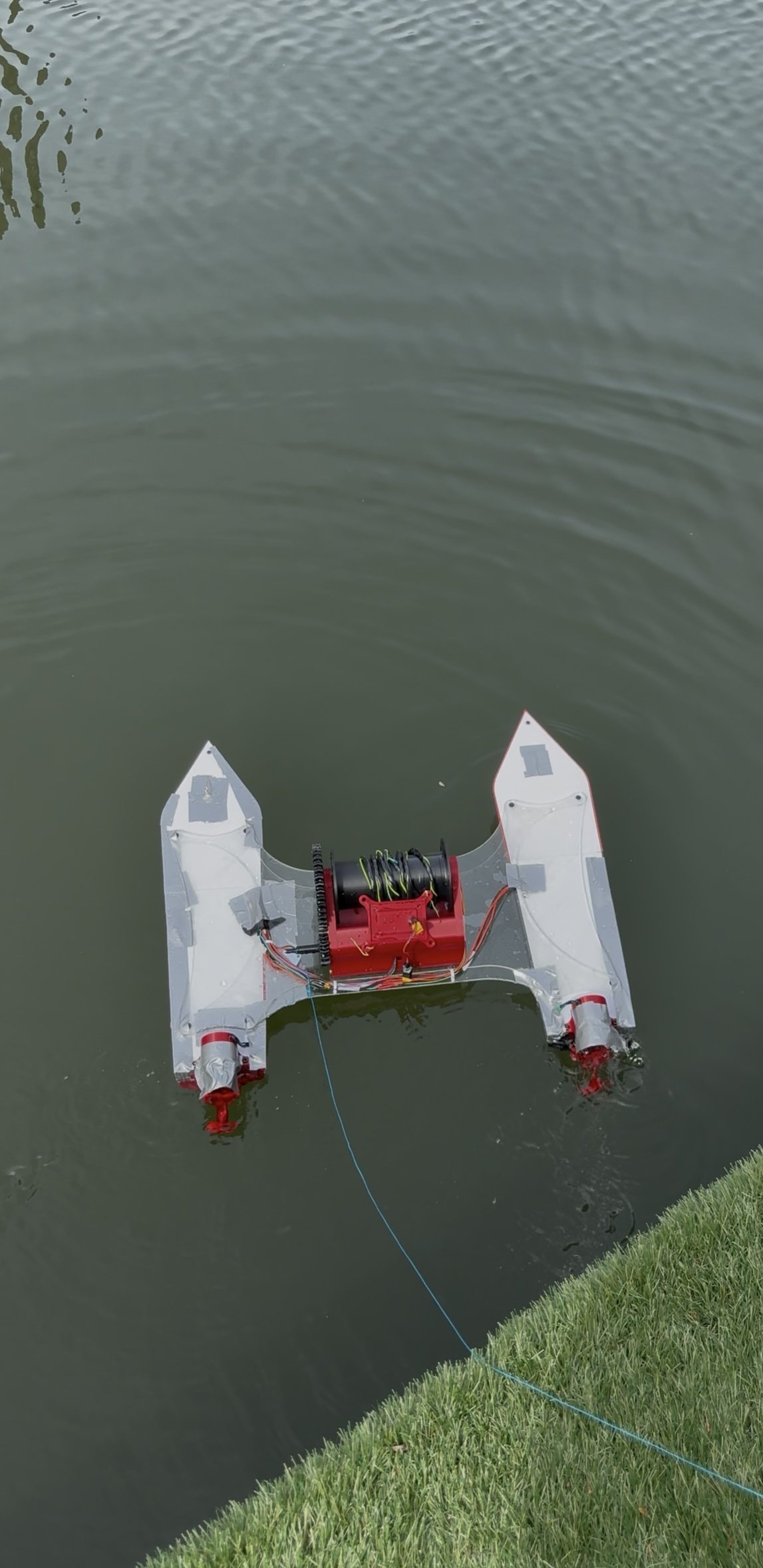
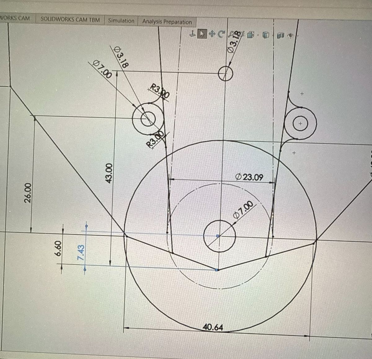
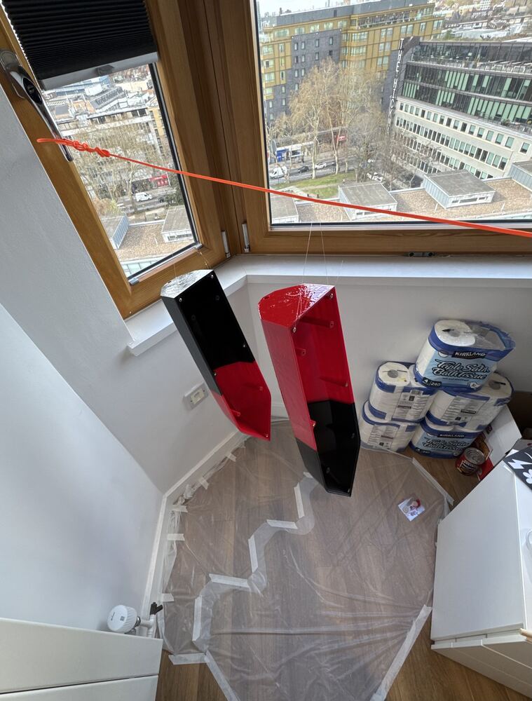
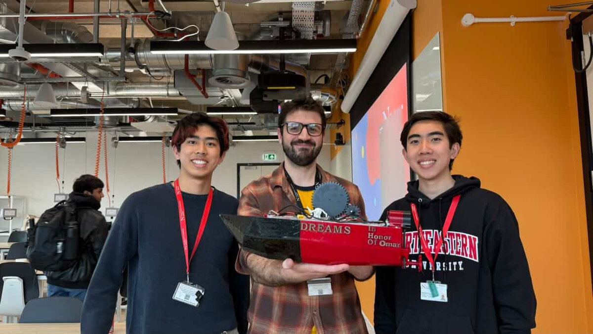
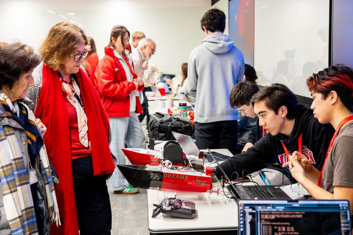
Click or tap any photo to view it full size.
Results & Next Steps
The vessel was successfully water-tested at St Katharine Docks, London — a marina adjacent to campus — following a formal access request process negotiated directly with dock management. The autonomous navigation, wireless communication, and sensor systems all performed as designed during field testing.
The project demonstrated that a capable, multi-system autonomous marine platform can be engineered and deployed by a two-person first-year team within a single semester, on a constrained budget, using only makerspace resources.
V3 is being designed around real field needs, starting with two conversations: with the Charles River Watershed Association (CRWA) about collecting water-quality data for them, and with the Port of Oakland about sediment sampling. Both showed that sediment samples are still collected by sending divers down, which is shaping the long-term plan for a sample-collection arm.
To finish V3, the team is looking for funding, a mentor in the field and fabrication partners; the partners page ↗ has the details.